Address to My Location: How to Find and Share Where Your Car Broke Down
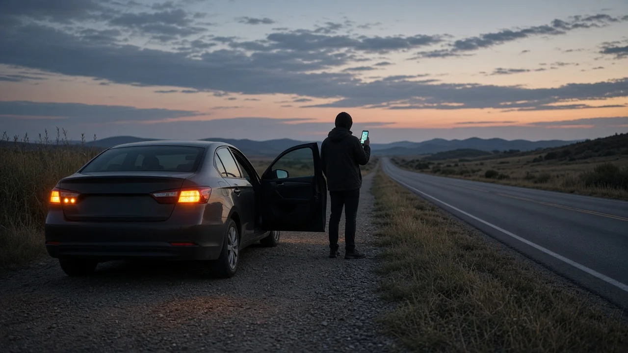
When your vehicle breaks down, help arrives faster if you can say exactly where you are. The quickest way to get an address for your current location is your phone's map app. It can show your position, a nearby street address and your GPS (Global Positioning System) coordinates. On highways and rural roads there is often no usable street address. In those places, mile markers, exit numbers, direction of travel and coordinates are usually more reliable than an address.
The Direct Answer
Stop in the safest spot you can reach and turn on your hazard lights. Then use one or more of these methods, depending on where you are:
Open your phone's map app and tap your current-location marker to see the nearest address or coordinates. If you call 911, the dispatcher may receive your location automatically, but you should still describe it out loud. On a highway, note the nearest mile marker, the last exit you passed, the route number and your direction of travel. In a city or town, read the nearest street sign, cross street or building number. If your vehicle has a built-in connected-services or emergency button, it may send your location to the service provider. Availability depends on make, model year, market and subscription status.
The address your phone shows is an estimate. The app takes your coordinates and matches them to the nearest mapped address. On a long highway or a stretch of open road, that address may belong to a property some distance away, or to a parallel road. Treat it as a starting point, not as proof of your exact position.
Finding the Address of Your Current Location on a Phone
Menu names and steps vary by phone, operating system version and map app, so the steps below are general:
Make sure location services are turned on for the map app. Open the map and tap the button that centers the map on your current position. Tap or long-press the blue dot or location marker. Most apps then open a panel showing a nearby address, coordinates, or both. Use the share option in that panel to send your location by text message to someone helping you, if you have a cellular connection. If the app shows a range or accuracy circle around your position, a larger circle means a less precise fix.
If the map takes a long time to settle on your position, wait a little before reading the result. A position taken in the first few moments, or taken under dense tree cover, in a tunnel or between tall buildings, can be less accurate.
Location Codes and Coordinates
If you were searching for a code for your location, you probably mean one of these location formats:
GPS coordinates: latitude and longitude, usually shown in decimal degrees. In the US, longitude is shown as a negative number in decimal format. Plus codes: a short letter-and-number code that some map apps display for any point, including places without a street address. A plus code can be written with a nearby town name instead of its full length. Word-based location systems: some third-party apps turn each small area into a combination of words.
A location code only helps if the person receiving it can use it. Most dispatchers and roadside services can work with plain latitude and longitude. Support for plus codes or word-based systems varies, so ask before relying on one. When you read coordinates aloud, give every digit, including the minus sign, and say which number is latitude and which is longitude.
Below is a template for a text message to a roadside provider or contact. Replace each placeholder with what your phone and the roadside signs show:
Vehicle breakdown - need assistance; Road / route: [route name or number]; Direction: [northbound / southbound / eastbound / westbound]; Nearest marker: [mile marker number or last exit passed]; Coordinates: [latitude], [longitude]; Nearby landmark: [business, overpass, bridge, rest area]; Vehicle: [color, make, model]; Situation: [on shoulder / in lane / off road; anyone injured?]
When There Is No Street Address: Highway Reference Points
On interstates and many state highways, responders find vehicles by route, direction and distance markers rather than by street address. Look for these reference points:
Mile markers: small posts or signs along the shoulder showing distance along the route. In many states, interstate exit numbers are tied to these mileposts, but practice varies by state and by road. Exit numbers and names: note the last exit you passed and, if you can see it, the next one. Direction of travel: give the official route direction shown on signs. This tells responders which side of a divided highway to approach from. Landmarks: overpasses, bridges, rest areas, interchanges, distinctive businesses or billboards. Cross streets: on surface roads, the nearest intersecting street is often more useful than a house number.
If you cannot see a marker safely, do not walk along the highway to find one. Stay with your vehicle or move to a safe area well away from traffic, and give responders whatever reference points you already have.
Calling 911 Versus Calling Roadside Assistance
Call 911 if anyone is injured, if your vehicle is stopped in a traffic lane or another dangerous position, or if there is fire, smoke or a fuel leak. In the US, wireless 911 calls can carry location information to the dispatch center. This is part of what is called E911 (Enhanced 911). How precise that location is depends on your phone, your carrier and the local dispatch system. Always answer the dispatcher's location questions rather than assuming they can already see where you are.
For a non-emergency breakdown, such as a flat tire, a dead battery or a vehicle that will not restart, contact your roadside assistance provider. That might be an auto club, your insurer, the vehicle manufacturer's program or a coverage plan tied to a credit card. Many providers ask you to share your location through their app or a text link. Check the location they receive against your own map before you end the call.
If You Have Weak Signal or No Data
Phones usually get GPS position directly from satellites, so a phone can often find coordinates without a data connection. However, the map background, address lookup and location sharing may not work without data. Some phones include a compass or similar built-in app that shows raw coordinates offline. Maps downloaded ahead of time for offline use can also show your position on a map.
In the US, wireless carriers are generally required to put a 911 call through on any available network, even if it is not your own carrier's. With no signal at all, though, a standard call will not connect. Some newer phone models offer emergency messaging by satellite. Whether it is available depends on the device, the software version and the region, so check your phone's settings or documentation before you rely on it.
What to Tell the Dispatcher or Roadside Service
Information | Why it matters; Road name or route number | Narrows the search to the correct road; Direction of travel | Tells responders which side of a divided road to use; Mile marker or nearest exit | Gives a precise reference point where there is no address; Coordinates or shared location | Allows navigation to an exact point; Nearby landmark or cross street | Helps confirm the position on arrival; Vehicle color, make and model | Helps responders identify your vehicle quickly; Where the vehicle is stopped | Shoulder, traffic lane or off road affects urgency and approach; Injuries or hazards | Determines whether emergency services are needed
Limits of This Guidance
This guide is based on general principles, not on confirmed technical data. It does not state specific accuracy figures for phone location, 911 location systems or vehicle telematics, because those vary by device, carrier, area and vehicle. Built-in vehicle emergency and location features differ by make, model year, trim, market and subscription status. Check your owner's manual or the service provider's terms to learn what your vehicle supports. Highway marker and exit numbering conventions also differ by state. If what your phone shows conflicts with what the signs show, give the dispatcher both.