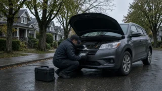
Kelowna to Vancouver driving conditions
Driving from Kelowna to Vancouver means planning for a route where conditions can change quickly with elevation and weather. The most common corridor runs through the Coquihalla and Fraser Canyon areas, where mountain grades, curves, and microclimates affect travel much more than distance alone suggests. Before departure, checking current road advisories gives you the useful picture: which route segments are clear, where visibility drops, and whether a closure notice or affected lanes alter the normal trip. Understanding those conditions helps you choose the right time, vehicle preparation, and expectations for the drive.
Essential answer
There is no single fixed condition for the Kelowna to Vancouver drive. The route crosses several mountain passes and river valleys, so the practical answer depends on the season, the active weather system, and the specific route segment you select. A route may be dry near the Okanagan, then transition to compact snow, heavy rain, or fog as the road climbs through higher elevations. Advisory time matters because conditions reported in the morning can be outdated by the afternoon when temperatures rise or a front moves through. For planning, treat changing road surface and visibility as normal features of the corridor rather than rare interruptions.
Because the drive includes long stretches between services, one delayed section can reshape the whole trip. A closure notice on a mountain segment may require a longer alternate route, while partial lane restrictions from construction or debris can add considerable time. The essential answer is that drivers should expect a multi-zone journey, not a uniform highway condition. Checking advisories for each major route segment before leaving, and again during stops, is the most reliable way to understand what the road will actually require. That approach is more useful than looking for one blanket answer about whether the drive is safe or clear.