What Is Offline Navigation in a Car?
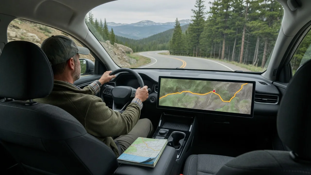
Drivers who ask what is offline navigation in a car are usually wondering how a route can keep working after the cellular signal disappears. The short answer is that the map data lives on the vehicle or on a phone rather than being streamed, so the system can still locate the car, draw the road network and give turn guidance without a data connection.
Map downloads
Offline navigation depends on map files stored locally. In a factory system, those files typically sit on internal memory, a hard drive or a removable card installed in the infotainment unit, and they may cover an entire country or continent from the day the car is built. Phone-based apps work differently: the driver chooses a region, downloads it over Wi-Fi beforehand, and the app then reads that saved area whenever coverage drops during the trip.
What a driver sees varies by vehicle and software. Some systems show a storage or map-management menu listing installed regions and their size, while others hide this entirely and simply work. Phone projection through the dashboard screen adds another layer, because the maps belong to the phone, not the car. A downloaded region also takes meaningful storage space, so larger areas may need to be chosen selectively on devices with limited free memory.
Routing capability
With the map stored locally, route calculation happens on the device itself. The satellite positioning receiver does not need mobile data, since it listens to satellite signals directly, so the car can still fix its position in a mountain pass or remote desert highway. The software then compares that position to the stored road network, works out a path to the destination and delivers spoken and on-screen turn instructions as usual.
Embedded systems often add wheel-speed and steering information to keep tracking the car through tunnels or parking structures where satellite reception fades, something a phone alone handles less gracefully. Rerouting after a missed turn generally still works offline, because the alternative roads are already in memory. Destination search can be narrower, though, with street addresses and saved places usually found more reliably than a newly opened business or a loosely worded search phrase.
Update needs
Stored maps are a snapshot of the road network at the time they were created. New interchanges, renamed streets, altered speed limits and changed one-way sections will not appear until the data is refreshed. A driver might notice the car icon traveling across a blank area on a recently built bypass, or guidance asking for a turn that a redesigned junction no longer allows, both signs that the installed map is older than the road.
How updates arrive depends heavily on the manufacturer and model year. Some vehicles receive new map data over the air through a built-in connection or home Wi-Fi, some need a file loaded from a USB drive or memory card, and others require a dealer visit or a paid subscription. Phone apps may let downloaded regions expire or prompt for a refresh. The owner's manual or the system's settings menu is the reliable place to confirm the method.
Everyday Use and Observations
In daily driving, many systems run in a hybrid way, using live data when it is available and falling back to stored maps when it is not. The transition is often subtle. Traffic coloring on the roads may vanish, the estimated arrival time stops adjusting to congestion, and a small icon or message may indicate that connected services are unavailable, yet the route line and the next-turn prompt carry on without interruption.
Offline capability is most noticeable on rural routes, in national parks, in underground garages and when traveling abroad without a roaming plan. Starting a route before leaving coverage is not strictly necessary on a system with full local maps, but it matters for apps that only cache the area around a planned trip. Checking that the destination region is actually stored before departure avoids discovering the gap at a remote crossroads.
Limits and Next Steps
Offline guidance cannot know what is happening on the road right now. Live traffic, crash reports, temporary closures, construction detours, fuel prices and current charging-station availability all rely on a connection, so the calculated route may run straight into a delay that an online system would avoid. Electric vehicle range planning can also be less informed without live charger status, and satellite imagery or detailed business listings are frequently unavailable.
A sensible next step is to find out which type of system the car actually has, since a screen that mirrors a phone is not the same as built-in navigation with its own maps. Looking at the navigation settings for map version and storage details, reading the relevant manual section, and asking the dealer about update options will clarify what works without data. Road signs and current conditions should always take priority over stored guidance.