Why Do Car Maps Need Updates?
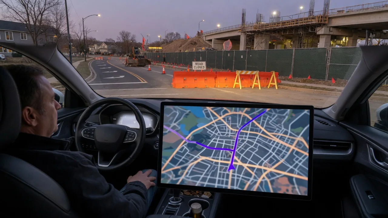
Drivers often ask why do car maps need updates when the roads outside seem unchanged. In practice, the road network shifts constantly: new bypasses open, junctions are rebuilt, turn restrictions appear, and addresses are added as neighborhoods grow. A built-in navigation system can only route with the data it holds, so older map files gradually drift away from what the windshield shows.
Map age
Every navigation database is a snapshot taken at a particular moment, and that moment is usually earlier than the vehicle's build date. Surveying, compiling and validating road data takes time, so a car can leave the factory with maps that are already many months old. From then on the gap widens. A new interchange, a relocated on-ramp or a freshly paved connector road simply does not exist in the stored data until a newer version replaces it.
The age of the map shows up in recognizable ways. The vehicle icon may appear to float across an empty field while you drive on a recently opened highway, or the system may insist on a long detour around a road it does not know. Most infotainment units show a map version or release date somewhere in the navigation or system information menu, though the location and wording differ between manufacturers and model years.
Update method
How new data reaches the car depends heavily on the system installed. Some vehicles download map revisions over the air through an embedded cellular connection or home Wi-Fi, often region by region in the background. Others rely on a file loaded from a USB drive or SD card, and some older units need a dealer visit. The owner's manual or the manufacturer's owner portal is the reliable place to confirm which approach applies to a given vehicle.
The method also influences how current the data can be. Connected systems may refresh small areas frequently, picking up a new roundabout or a changed speed limit soon after it is recorded. Offline packages tend to arrive as large periodic releases covering a whole country or continent, so individual changes wait for the next edition. Some manufacturers include updates for a set period and then require a subscription, which is worth checking before assuming the service continues.
Verification
After an update, it is sensible to confirm that the new data actually installed. The version or date shown in the system menu should differ from what was displayed before, and it helps to note the earlier value beforehand for comparison. An interrupted download or an incomplete transfer may leave the previous map active without an obvious warning, so a quick look at that screen removes any doubt about which release the navigation is using.
A practical check uses places you know well. Search for a recently built street, a new subdivision address or a store that opened in the past year, and see whether the system finds it and places it correctly. Look at a junction you know was rebuilt and compare the on-screen layout with reality. If a known change is still missing, the release may simply predate it, since even a fresh update reflects data collected some time before publication.
Everyday Use and Observations
Day-to-day driving reveals outdated data more through small frustrations than dramatic errors. A house number may be placed at the wrong end of a street, a new address may not be found at all, or guidance may call for a left turn where a median now blocks it. Access changes matter too: a street converted to one-way, a closed rail crossing or a restricted entrance can send the route somewhere a driver cannot legally go.
Map data also feeds features beyond route guidance in many modern vehicles. Speed limit displays, lane guidance graphics, curve-related driver assistance behavior and range planning for electric vehicles, including charging station locations, may all draw on the stored map. When that information is stale, a displayed limit may not match the posted sign or a listed charger may no longer exist. Which functions depend on map data varies by vehicle, so the manufacturer's documentation is the proper reference.
Limits and Next Steps
Even a current map has limits. Temporary closures, construction zones, crashes and seasonal restrictions are usually handled by live traffic services rather than the base map, and not every car has them. No database captures every private road, gated entrance or recent address either. Posted signs, lane markings and what you can see ahead always take priority over on-screen guidance, and a route that looks wrong on the road should be treated as wrong.
A reasonable next step is to check the installed map version, find out how your vehicle receives updates and whether any are still included with it. If the built-in system no longer gets new releases, phone projection through the infotainment screen may offer fresher mapping where the vehicle supports it. Drivers who mostly travel familiar roads may tolerate older data, while those who rely on navigation in growing areas or for long trips benefit most from staying current.