How Does a Car's GPS Positioning Work?
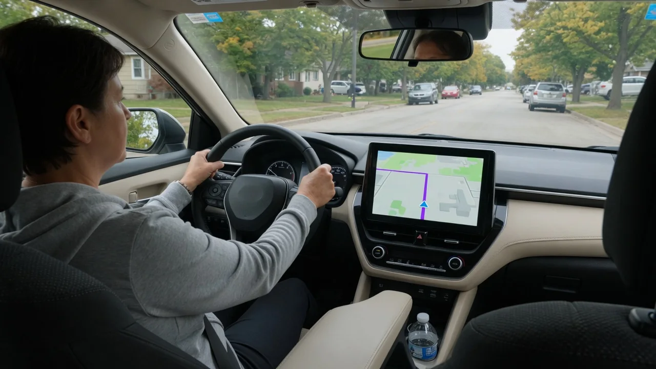
Ask how does a car's GPS positioning work, and the short answer is that the vehicle listens rather than transmits. A roof or dashboard antenna receives timing signals from navigation satellites, a receiver turns them into a location, and the car's own sensors fill the gaps when the sky view is poor. The details below explain each step and what drivers typically notice.
Position estimate
Each navigation satellite continuously broadcasts its orbital position and a very precise time stamp. The receiver in the car compares when each signal was sent with when it arrived, and because radio waves travel at a known speed, that delay becomes a distance. With distances to at least four satellites, the receiver can solve for latitude, longitude, altitude and the error in its own inexpensive clock. This process is often called trilateration, and it repeats many times every minute while the vehicle is moving.
The result is an estimate, not a fixed point. Typical automotive receivers place the car within a few meters under open sky, and the figure shifts as satellites rise, set and change geometry overhead. Many modern units listen to several constellations at once, such as GPS, GLONASS, Galileo and BeiDou, which increases the number of usable satellites. Whether a particular vehicle does this depends on its navigation hardware and model year, so the owner's manual or infotainment settings are the place to confirm.
Signal limits
Satellite signals are extremely weak by the time they reach the ground, so anything between the antenna and the sky matters. Tunnels and underground parking garages block reception completely, while tall buildings reflect signals so they arrive late and from misleading directions, an effect known as multipath. Dense tree cover, steep canyon walls and heavy overpasses can cause similar trouble. Some metallic window films and heated windshield coatings can also weaken reception for devices placed inside the cabin rather than connected to an external antenna.
This is where vehicle sensor assistance comes in. Wheel speed sensors report how far the car has traveled, a gyroscope or yaw sensor reports how sharply it is turning, and some systems add accelerometers or steering angle data. Combining these inputs, a method called dead reckoning, lets the navigation computer keep advancing the position through a tunnel from the last good satellite fix. The estimate drifts gradually the longer the outage lasts, then snaps back into agreement once clear signals return at the exit.
Map display
The raw coordinates would be of little use without a digital map. Navigation software takes the calculated position, heading and speed and compares them with the stored road network, then places the vehicle icon on the most plausible road. This step, known as map matching, is why the arrow stays neatly in a lane even though the underlying fix wanders by several meters. It also explains why the icon occasionally jumps to a parallel frontage road when two routes run very close together.
Map data itself comes from different places depending on the system. Built-in navigation may store maps on internal memory or a card and rely on periodic updates, while connected systems and phone projection through Apple CarPlay or Android Auto download current data over a cellular link. Phone-based apps may use the handset's own receiver, the car's antenna, or both, depending on the vehicle and connection type. A newly opened road missing from the screen is therefore a map-age issue, not a satellite positioning fault.
Everyday Use and Observations
In daily driving, the first thing most people notice is startup behavior. After the car has been parked for a long time, or shipped a long distance while switched off, the receiver may need extra time to locate satellites and download fresh orbital information, so the icon can sit still or point the wrong way for a short while. Heading is often uncertain until the car begins moving, because direction is largely derived from movement and sensor input rather than from a single stationary fix.
Other observations are equally ordinary. The position marker may lag slightly at highway interchanges, drift in a downtown core lined with glass towers, or continue smoothly through a long tunnel thanks to wheel and gyroscope data. The same location feed often supports more than turn-by-turn guidance, including automatic clock adjustment, emergency call services, stolen vehicle location and some driver assistance features that reference speed limits or curves. Which of these functions a car offers varies by manufacturer, trim level and subscription status.
Limits and Next Steps
Positioning does have boundaries worth keeping in mind. It tells the car where it is, not what is happening on the road, so closures, construction and temporary restrictions depend on traffic data and map freshness instead. Accuracy of a few meters is fine for routing but is not enough on its own for lane-level decisions, which is why advanced driver assistance relies on cameras and radar as well. Aftermarket wheels or tires of a noticeably different size can, in some vehicles, affect distance-based dead reckoning.
When the location is persistently wrong under open sky, a few simple checks are reasonable before assuming hardware trouble. Confirm that map and system software are up to date, remove any electronic accessories mounted near the antenna, and see whether the error follows the built-in system or only a phone app. If the problem remains, a dealer or qualified technician can test the antenna, cabling and receiver with vehicle-specific diagnostics. Any stored fault code should be treated as a clue to investigate, not confirmation that a component has failed.