Convert a breakdown address or location into GPS coordinates
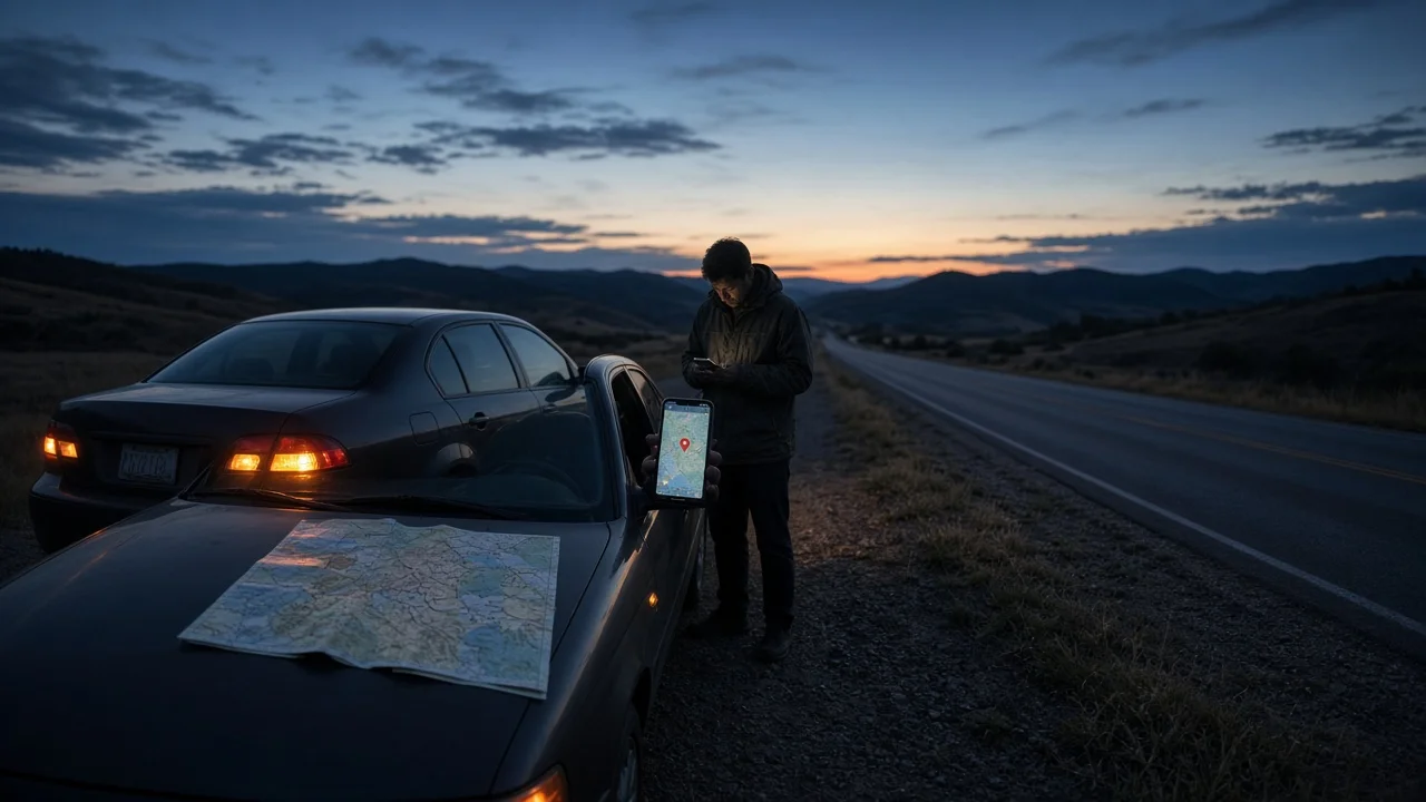
When a vehicle breaks down somewhere unfamiliar, such as a rural highway, a long interstate stretch or a parking area with no clear street number, a pair of GPS coordinates can tell a tow operator or dispatcher exactly where to go. This guide explains how to get those coordinates, how to read them without errors and what other location details to give alongside them.
The short answer
If you are at the breakdown spot, you usually do not need to convert an address at all. Read your device's current GPS position instead. Open a map app, tap or press and hold your current-location marker or drop a pin where you are, and the latitude and longitude should appear in the information panel or search field.
If you only have an address, for example because you are arranging help for someone else, search for that address in a map app and read the coordinates of the resulting pin. Turning an address into coordinates is called geocoding. One limitation matters here: a point derived from an address may land at the center of a property or at an estimated spot along the street, not on the shoulder where the vehicle is sitting. Live GPS is usually the better choice when it is available.
What GPS coordinates look like
Coordinates are two numbers. Latitude gives the position north or south of the equator, and longitude gives the position east or west of the prime meridian. Most map apps list latitude first. Devices may show the same position in different formats. The example values below are illustrative only and are not a real breakdown location.
Format | Example layout | Notes; Decimal degrees | 41.12345, -87.65432 | Accepted by most map apps. A minus sign on longitude means west. Degrees, minutes, seconds | 41°07'24.4"N 87°39'15.6"W | Hemisphere letters (N, S, E, W) replace plus and minus signs. Degrees and decimal minutes | 41°07.407'N 87°39.259'W | Used by some dedicated GPS units and navigation tools.
In the contiguous United States, decimal latitude is positive (north) and decimal longitude is negative (west). Dropping the minus sign moves the point to the opposite side of the globe, which makes it the most common and most serious transcription error. Five or six decimal places in decimal degrees is generally enough to identify a spot within a few meters. Real-world accuracy still depends on the quality of the device's GPS fix.
Location cues to collect with your coordinates
Coordinates can be off if the GPS signal is weak. A dispatcher may also need road context, such as which side of a divided highway you are on. Gather the following cues if you can do so safely:
Road name or route number, and your direction of travel; Nearest mile marker or exit number, plus the last exit you passed; Cross street, interchange or ramp, if you are near one; Visible landmarks such as a bridge, overpass, business or rest area; Where the vehicle sits: right shoulder, median, ramp, parking lot or side road; A short vehicle description, including color, body style and any hazard lights or warning triangles in use
Mile marker and reference-post systems differ from state to state, so read the signs you can actually see rather than guessing at spacing. Do not walk along live traffic lanes to read a marker. An approximate cue from a safe position is better than a precise one gathered at risk.
Step-by-step: getting and sharing coordinates
You need a phone or other device with location services, or a vehicle navigation system that can display its current position. Menu names and gestures vary by app, operating system version and vehicle, so treat the steps below as a general sequence rather than exact button paths.
1) Get safe first. Turn on hazard lights, move off the travel lanes if the vehicle can still be moved, and decide whether it is safer to stay inside or wait away from traffic. 2) Turn on location services. A clear view of the sky helps the device get a fix. Give it a short time to settle before reading the position. 3) Open a map app and find your current-location marker. Tap it, or press and hold that spot, to display the coordinates. 4) If the map will not load because you have no data signal, remember that the phone's GPS receiver does not need cellular data, although some map apps do. Some phones show coordinates in a built-in compass or similar utility. Some vehicle navigation systems also have a current-position screen. Check the owner's manual for your model year and trim. 5) Copy the coordinates exactly as shown and note the format: decimal degrees, or degrees with minutes and seconds. 6) Verify the result by pasting the coordinates back into the map app's search field. Confirm the pin lands where you are, on the correct side of the road. 7) Share the coordinates. A text message avoids reading errors. If you must speak them, give latitude first and then longitude, say "north" and "west" or state the minus sign, read the digits one at a time and ask the listener to repeat them back. 8) Add the location cues from the previous section, especially the direction of travel and the nearest exit or mile marker.
If you are working from an address instead of a live position, search for the address, check that the result matches the intended town and state, and then move the pin to the actual spot where the vehicle is, if you know it. Copy the coordinates only after you have adjusted the pin.
Completion check: the coordinates are written down or sent, the pin they produce matches the vehicle's real position, and the person receiving them has confirmed the numbers, including the west or minus sign.
Emergency services and connected-vehicle features
If anyone is injured or the vehicle is in a dangerous position, call 911 before arranging roadside help. Mobile 911 calls may pass location information to the dispatcher automatically, but accuracy varies, so be ready to state your coordinates and road cues as well.
Some vehicles have a built-in assistance or emergency button that sends the vehicle's position to a call center. Roadside assistance apps may also capture your location automatically. Availability depends on the manufacturer, model year, market and whether a subscription is active, so confirm in your vehicle's documentation. Even when location is sent automatically, check that the pin the service shows matches where you are.
What this guide does not confirm
No app-specific menu paths, vehicle-specific navigation procedures or service coverage details were verified for this guide. Exact steps for displaying coordinates on a particular phone, map app or vehicle infotainment system should be checked against that product's current documentation.