What to Do Before Driving Into an Area With Weak Cell Service
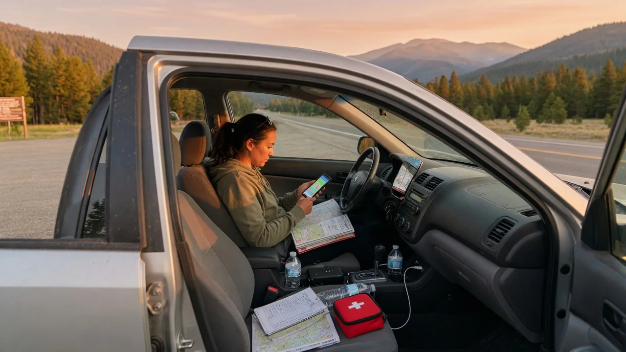
Knowing what to do before driving into an area with weak cell service comes down to three habits: store your navigation on the device, leave with enough fuel or battery charge to cover the gaps, and tell someone your route and timing. A few minutes of preparation at home, while you still have a strong signal, replaces the tools that quietly stop working once coverage fades.
Offline maps
Most phone navigation apps pull map tiles, traffic data and rerouting instructions from the network as you drive. When the signal drops, the blue dot may keep moving because satellite positioning works independently of cellular data, but the map beneath it can turn blank and a missed turn will not trigger a new route. Downloading the region to your phone beforehand solves this. Choose an area generous enough to include your destination, the roads leading in, and at least one alternate way out in case of a closure.
Test the download before you leave by switching the phone to airplane mode and asking for directions to your destination. If a route appears, the offline data is working. Built-in vehicle navigation varies widely: some systems store maps on board and work without any connection, while others stream maps and behave much like a phone. Your owner's manual or the infotainment settings menu usually shows which type you have. A paper road atlas or printed directions in the glovebox costs little and needs no battery at all.
Fuel/charge
Remote stretches with poor coverage often have few places to refuel, and the ones that exist may keep limited hours or be closed for the season. Without a signal you cannot search for the next station or check whether it is open, so that research belongs at home. Fill the tank in the last sizable town before coverage thins, even if the gauge still reads above half. Climbing grades, gravel surfaces, headwinds and a loaded roof rack all increase consumption, so the range estimate on your dashboard may prove optimistic.
Electric vehicle drivers need a wider margin still. Many public chargers rely on a network connection to authorize a session through an app, so a station in a dead zone may not start the way you expect. Look up charger locations in advance, note which accept a physical card or tap payment, and save that information offline. Cold weather and sustained climbs reduce range, and the amount varies by vehicle. Arriving with a comfortable reserve also lets you run climate control if you have to wait for help.
Inform someone
A trip plan shared with one reliable person is the backup for the phone call you may not be able to make. Give them your route by road name or number, your destination, where you intend to stop, and when you expect to be back in coverage. Add a description of the vehicle, including color and license plate, and the names of everyone riding along. If you must deviate from the plan, try to send an update before you lose signal rather than hoping to send it later.
Agree on a specific check-in time and on what your contact should do if it passes without word from you. A reasonable arrangement includes a grace period for ordinary delays, followed by a call to the local sheriff's office or highway patrol for the area you are traveling through. Live location sharing is useful up to the point where the signal ends, since it shows your last known position, but it will freeze there. That frozen point combined with a known route narrows a search considerably.
Everyday Use and Observations
Watch the signal indicator as you drive and you will notice patterns. Coverage tends to fade in canyons, behind ridgelines, in dense forest and on long desert or prairie stretches between towns, then return briefly on hilltops and near highway junctions. Those brief windows are the time to send a quick text or let pending messages go through. Texts often succeed where voice calls and data fail, since they need far less bandwidth. Noting a mile marker or landmark where you last had bars gives you a place to return to.
A phone hunting for a tower drains its battery noticeably faster than one with a steady connection, so keep it on a charger and carry a cable that you know works with your vehicle's ports. Connected features in the car may also go quiet. Streaming audio, live traffic, remote app functions and some automatic crash notification services depend on the vehicle's own cellular link, and how each behaves without it differs by manufacturer and subscription. Downloading playlists or podcasts ahead of time avoids the temptation to fiddle with a screen while driving.
Limits and Next Steps
Preparation reduces risk but does not remove it. Offline maps do not show a washout, a locked gate or a road closed by snow, and they age as roads change. Emergency calls may connect through another carrier's tower where your own has none, yet there are places with no tower from anyone. Some newer phones can send emergency messages by satellite, though availability depends on the model, the region and a clear view of the sky. Confirm what your own device supports rather than assuming it has the feature.
If you travel remote roads regularly, a dedicated satellite messenger or personal locator beacon is worth considering, since it works independently of cellular networks. Check the basics on the vehicle before you go as well: tire pressures including the spare, fluid levels, and the presence of a jack and lug wrench, because roadside assistance is hard to summon without a signal. Pack water, warm layers and a flashlight. If you do break down, staying with the vehicle on your planned route generally makes you far easier to find.