How to Read Mile Markers When Reporting a Roadside Breakdown
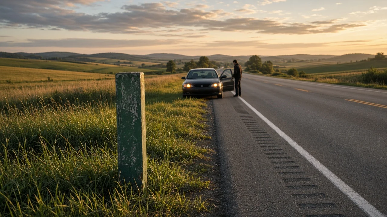
What Mile Markers Are
Mile markers, also called mileposts, are small numbered signs placed along the edge of a highway at regular intervals. Each number shows the distance in miles from a fixed starting point on that route, usually where the road enters the state. When you break down, the route name, your direction of travel, and the nearest mile marker together give dispatchers, tow operators, and roadside assistance a precise location, even on stretches with no exits or landmarks.
One condition changes how much a marker tells you: numbering conventions are set by each state and can differ by road type. The guidance below reflects the common pattern on US Interstates. State routes, toll roads, and some individual states may follow different systems, and no state-specific evidence was supplied for this guide, so check your state transportation department if you travel a particular road often.
How Mile Markers Work
On most Interstates, numbering begins near zero at the state line or at the point where the route begins within the state, then increases by one each mile. Because the count restarts at each state line, a mile marker number alone is not a complete location. It only makes sense paired with the route and the state.
East-west routes: numbers usually start at the western state line and increase as you travel east. North-south routes: numbers usually start at the southern state line and increase as you travel north. Exit numbers: in most states, exit numbers are based on mileage, so an exit's number roughly matches the nearest mile marker. This lets you estimate your position from the last exit you passed. Spurs and loops: three-digit Interstates and beltways often have their own separate numbering rather than continuing the parent route's count.
A practical effect of this system is that you can tell whether you are moving toward or away from a point. If you are heading east and the numbers are rising, you are traveling with the count; if they are falling, you are traveling against it. That helps you describe which way you were going, which matters because responders need to reach the correct side of a divided highway.
What Mile Markers Look Like
The standard US mile marker is a small, vertical green sign with white numbers and a reflective finish, mounted on a short post along the right shoulder. Some are placed in the median. In some areas, enhanced reference markers are larger and show the route shield, the direction, and the mile number, sometimes with a decimal for tenth-mile or other fractional points. Spacing more frequent than once per mile is found mainly in busy or urban corridors and is not universal.
Limits to Keep in Mind
Not every road has mile markers. Many local roads and some state highways have none or use a different reference system. Where two routes share the same pavement, the markers usually follow only one of them, so the number may not match the route you think you are on. Some states use alternative schemes. California, for example, uses postmiles that reset at county lines on state highways. Markers can be missing, damaged, or hidden by vegetation or snow, so the nearest visible sign may be farther away than you expect.
How to Use Mile Markers When Reporting a Breakdown
The aim is to give a location that someone unfamiliar with your trip can find quickly. Your phone, the signs around you, and your memory of the last exit are usually enough.
1) Get to safety first. Move as far off the travel lanes as you can and turn on your hazard lights. If you are in danger, if anyone is hurt, or if your vehicle is blocking traffic, call emergency services before anything else. 2) Stay in a protected position. Do not walk along the shoulder or cross lanes to read a marker. If you have to leave the vehicle, exit on the side away from traffic and stand well clear of the roadway, behind a barrier if one is available. 3) Identify the route. Note the highway number and type, such as an Interstate, US route, or state route, along with the state you are in. 4) Identify your direction. State the direction printed on route signs, such as northbound or westbound, rather than the city you were heading toward. 5) Find the nearest mile marker. Use the last marker you remember passing or one you can see from the vehicle. If you only see it from a distance, say that your location is approximate, for example between two marker numbers. 6) Add the nearest exit. Give the last exit number or name you passed and, if known, the next one ahead. 7) Add supporting detail. Mention visible landmarks such as overpasses, bridges, rest areas, or which side of the road you are on, and your vehicle's color, make, and type. 8) Use your phone to confirm. A map app can show your position and coordinates, which you can read to the dispatcher along with the mile marker.
Completion check: repeat your location back to the dispatcher or assistance provider in one sentence that includes the state, route, direction, mile marker, and nearest exit, for example the route, eastbound, near a given mile marker, past a given exit. Ask them to confirm they have it. If they cannot match your description to a location, give your phone's coordinates.
Stop and call emergency services right away rather than working through these steps if there is smoke, fire, a fuel leak, an injury, or your vehicle is stopped in a live lane. Any repair beyond simple tasks such as using a spare tire is best left to a tow or roadside service, especially on a highway shoulder.
Information Not Covered Here
This guide does not provide state-by-state numbering rules, roadside assistance phone numbers, or legal requirements for disabled vehicles, because no verified evidence for those was supplied. Check with your state's transportation department, your insurer, or your roadside assistance provider for those details.