Find a Place by Latitude and Longitude
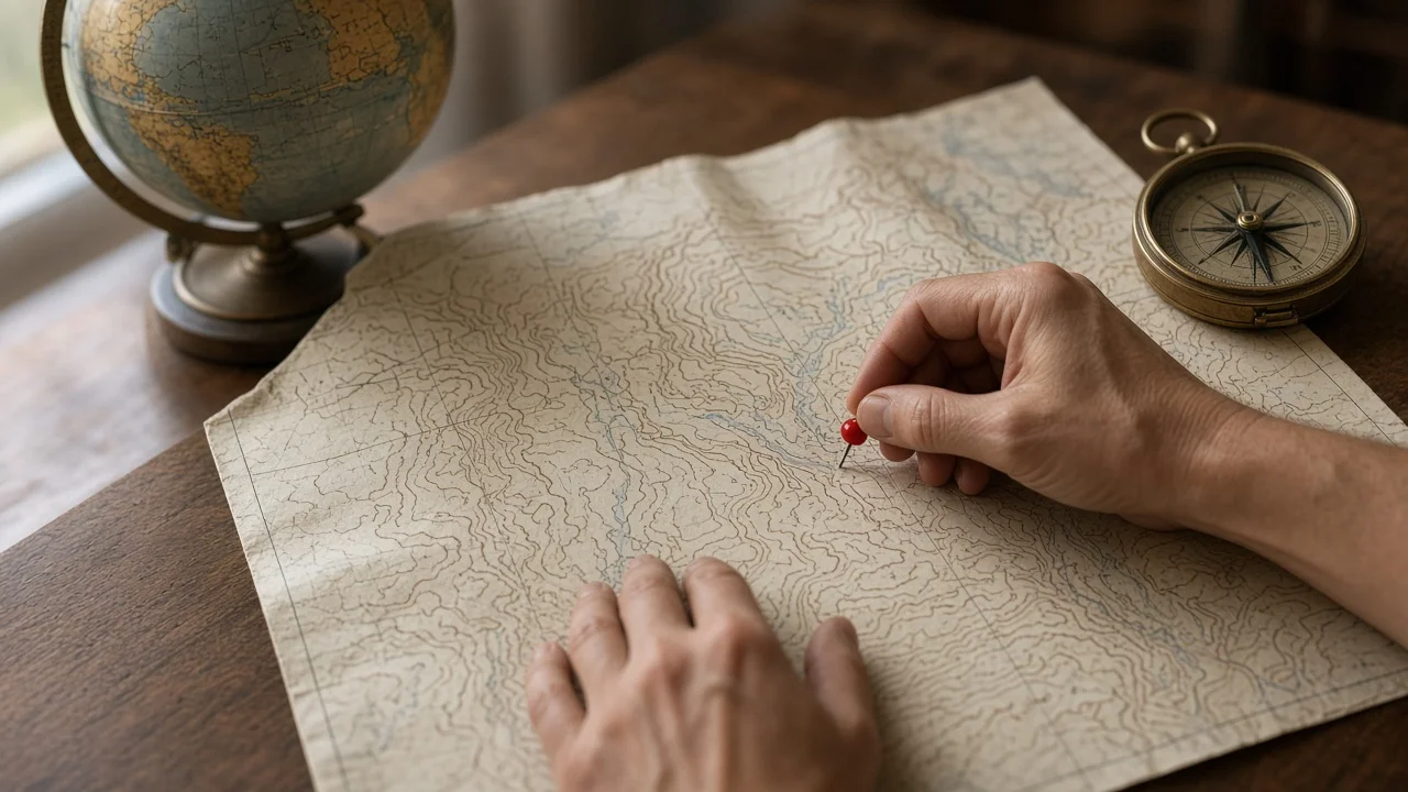
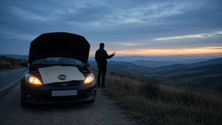
If someone has sent you a pair of coordinates, or your phone or vehicle shows them after a breakdown, you can find the exact spot by entering both numbers into the search bar of a mapping app or GPS navigator. Type latitude first, then longitude, separated by a comma. The map should drop a pin on that point, and from there you can view the surroundings, get directions or share the location. Most problems come from mixed-up formats, swapped numbers or a missing minus sign, so it helps to check the coordinates before relying on the pin.
What Latitude and Longitude Mean
Latitude measures how far north or south a point is from the equator. Longitude measures how far east or west it is from the prime meridian. Together they identify a single point on the Earth's surface. Latitude ranges from -90 to 90 and longitude from -180 to 180, so a latitude value above 90 or below -90 tells you the numbers are swapped or mistyped.
How to Find a Location From Coordinates
1) Open a mapping app on your phone or computer, or the destination entry on a GPS unit or in-vehicle navigation system that accepts coordinates. 2) Enter the latitude, a comma, then the longitude, in that order. 3) Confirm the format matches what you were given: decimal degrees, or degrees with minutes and seconds. 4) Check the sign or direction letter of each number. Locations in the United States have north latitude (positive) and west longitude (negative, or marked W). 5) Run the search and look at where the pin lands. Compare it with what you know: the road, the direction of travel, the last exit or landmark mentioned. 6) Switch to satellite view if available to see shoulders, ramps, medians and nearby access points. 7) Use the pin to get directions, or share it with the person or service that needs to reach the location.
Coordinate Formats You May Receive
The same point can be written in several ways. Mapping apps usually accept all of the common formats, but the symbols and direction letters need to be entered correctly.
Format | How it looks | Notes; Decimal degrees (DD) | 40.7128, -74.0060 | Most common in phones and apps. A minus sign means south latitude or west longitude. Degrees, minutes, seconds (DMS) | 40°42'46"N 74°00'22"W | Uses N, S, E or W instead of a minus sign. Each degree has 60 minutes; each minute has 60 seconds. Degrees and decimal minutes (DDM) | 40°42.768'N 74°00.360'W | Common on some GPS units and marine or aviation devices.
If your keyboard makes the degree symbol awkward to type, many apps accept DMS or DDM values written with spaces, but behavior differs between apps. When in doubt, convert to decimal degrees: divide the minutes by 60 and the seconds by 3,600, then add them to the whole degrees.
Decimal degrees = degrees + (minutes / 60) + (seconds / 3600); Example: 40° 42' 46" N; 40 + (42 / 60) + (46 / 3600) = 40.7128 (rounded); For S latitude or W longitude, make the result negative.
Common Errors That Put the Pin in the Wrong Place
Swapped order: entering longitude first can place the pin in another country or show an error. Latitude always comes first in the usual convention. Missing minus sign: for a US location, dropping the minus from the longitude moves the point to the Eastern Hemisphere, far from the actual breakdown. Mixed formats: treating a DDM value such as 42.768 minutes as if it were decimal degrees shifts the point noticeably. Truncated digits: coordinates copied from a text message may lose decimal places, which reduces precision. Comma and period confusion: some regional settings use a comma as the decimal separator, which can break the latitude-longitude split.
How Precise the Coordinates Are
In decimal degrees, each extra decimal place makes the position about ten times more precise. As an approximate guide for latitude, four decimal places narrows the point to roughly 11 meters and five decimal places to about 1 meter. Longitude spacing shrinks as you move away from the equator, so the east-west figures are smaller across the US. Keep in mind that the number of digits shown does not guarantee the device actually measured the position that accurately. Phone and vehicle GPS accuracy depends on signal conditions, terrain, buildings and the device itself, and no specific accuracy figures were available for this guide.
Using Coordinates to Report a Roadside Breakdown
Coordinates are most useful when road signs, mile markers or exit numbers are not visible. When you pass them to a tow operator, roadside assistance service or someone coming to help, a few habits reduce confusion.
Read or send the numbers exactly as displayed, including the minus sign or direction letters. Say which format you are using if you read them aloud. Add context the coordinates cannot convey: the road name, direction of travel, which side of the road or median the vehicle is on, and the nearest exit or landmark. If possible, share a location pin from your mapping app instead of retyping numbers, which avoids transcription errors. In an emergency in the US, call 911 first; tell the dispatcher your location and the coordinates if you have them, rather than assuming the location is transmitted automatically.
Finding Coordinates in a Vehicle System
Some built-in navigation and connected-vehicle (telematics) systems can display the current coordinates or send them to an assistance service, but menu names, display formats and features vary by manufacturer, model year, trim and subscription status. Check the owner's manual or navigation guide for your specific vehicle to see whether it shows coordinates and in which format. If the vehicle system cannot show them, a smartphone mapping or compass app is usually the quickest alternative.
Limits of This Guide
This guide covers general principles for reading and entering coordinates. It does not cover the features of any particular app, navigation unit or vehicle, and no tested accuracy data, service details or vehicle-specific instructions were available. Confirm app behavior and in-vehicle features against the documentation for the device or vehicle you are using.