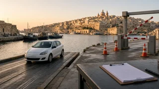
Driving in Valletta, Malta
Driving in Valletta, Malta presents a set of road conditions shaped by a fortified peninsula, dense stone architecture, and a street network that predates modern traffic planning. Visitors researching this subject typically want to know whether a private vehicle is practical, how access restrictions operate, and what to expect from the lane layout and travel conditions. The capital’s compact core concentrates historic sights within walkable distances, which changes the value of bringing a car into the city. Understanding the route segment, road classification, and traffic signs helps a driver avoid unnecessary congestion and make better use of perimeter parking.
Essential answer
The essential answer is that driving inside Valletta is heavily constrained and often unnecessary for reaching the main historic center. The city occupies a small grid of narrow streets where many road classifications favor pedestrians, delivery access, and residents. A visitor can drive to the boundary, use designated parking or transport connections, and continue on foot because the core is compact. Access restrictions can vary by time of day and are generally marked with traffic signs that indicate where private vehicles may or may not proceed.
These conditions require more planning than a typical urban drive. The relevant route segment is short, but lane layout can be tight and unfamiliar, with limited room for maneuvering around buses, service vehicles, and stone curbs. A practical approach is to treat the car as a way to reach the outer edge of the city rather than as a tool for moving between individual attractions. Drivers should watch for restricted zones at entry points and confirm the exact meaning of boundary signage before passing them.