What Is Dead Reckoning in Car Navigation?
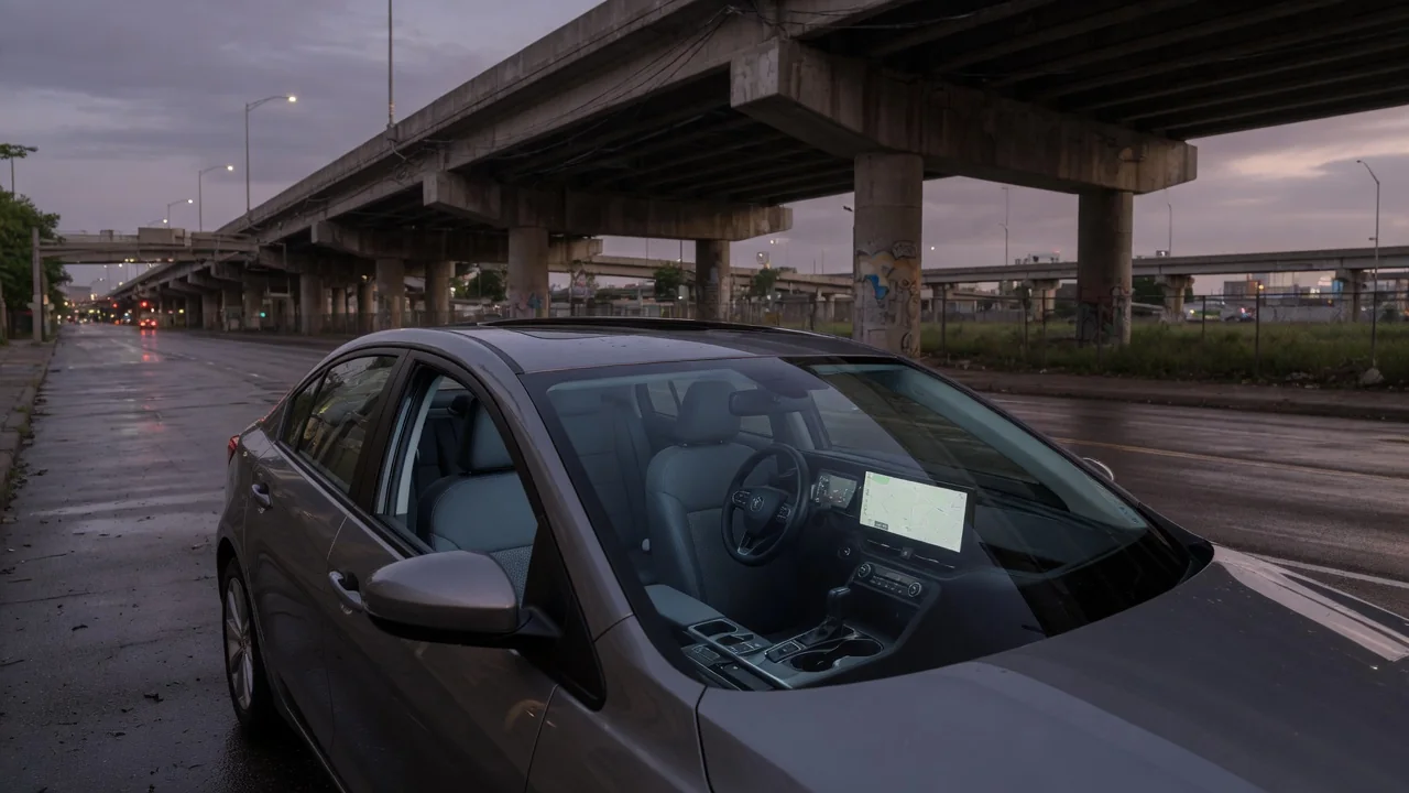
Drivers who ask what is dead reckoning in car navigation are usually wondering how the map keeps moving when the satellite signal drops out. The short answer is that the vehicle estimates its own position from a known starting point, using measured speed, distance and direction until satellite positioning returns and the estimate can be checked again.
Wheel and motion sensors
Dead reckoning depends on sensors the vehicle already carries for other jobs. Wheel speed sensors, fitted for anti-lock braking and stability control, report how fast each wheel is turning, and from that the navigation system can work out distance traveled. Comparing left and right wheel speeds also hints at a turn, because the outer wheels cover more ground than the inner ones through a curve. Some systems read a single vehicle speed signal instead of individual wheels.
Direction comes mainly from inertial sensors. A gyroscope measures how quickly the vehicle is rotating around its vertical axis, which reveals heading changes, while accelerometers sense speeding up, braking and sometimes road gradient. Factory-installed navigation typically has access to these signals through the vehicle's data network, and some designs add steering angle or the reverse gear signal. Aftermarket head units and portable devices vary widely, with some relying only on their own internal motion sensors and others using a wired speed connection.
Tunnel use
A tunnel is the clearest demonstration of the technique. Satellite signals cannot pass through rock, concrete and earth, so the receiver loses its fix within moments of entering. A system with dead reckoning takes the last reliable position and heading, then advances the map cursor according to the distance the wheels report and any turning the gyroscope detects. The position marker continues along the road, and turn instructions for an exit inside or just beyond the tunnel can still arrive on time.
Without this capability, the difference is easy to see. The position arrow may freeze at the tunnel entrance, or the software may simply assume a constant speed and slide the marker forward regardless of what the car is doing. That assumption fails if traffic slows or stops underground. The same principle applies in multi-level parking garages, beneath stacked highway interchanges and in dense downtown streets where tall buildings block or reflect signals, although performance in each setting depends on the vehicle and navigation system.
Drift
Dead reckoning is an estimate built on earlier estimates, so small errors accumulate. This gradual wandering away from the true position is known as drift. A gyroscope that reads very slightly off will produce a heading error that grows with time, and a tiny mistake in direction becomes a noticeable sideways offset after enough distance. Distance errors behave similarly, since each wheel revolution is converted to travel using an assumed tire circumference that may not match reality exactly.
Several ordinary conditions feed drift. Tire wear, low pressure or a change in tire size alters the rolling circumference, so the calculated distance runs long or short. Wheel spin on ice, gravel or wet pavement registers movement that did not occur, and locked wheels under hard braking do the opposite. Temperature changes can also shift sensor readings. Many systems continuously calibrate against satellite data whenever a good signal is available, which is why accuracy often improves after some open-road driving.
Everyday Use and Observations
In daily driving, dead reckoning works quietly in the background, blended with satellite positioning rather than switched on only in emergencies. The blending smooths out the jumps that reflected signals cause between tall buildings, and it helps the system decide which of two closely spaced roads the vehicle is actually on. Map matching adds another layer, snapping the estimated position to the nearest plausible road so that modest sensor error does not show up on screen.
Owners can spot the system at work with a few simple observations. A marker that keeps tracking through a long underpass, slows when the car slows and stops when traffic stops is being driven by vehicle sensors. A marker that glides on at a steady pace or sits still until daylight returns suggests little or no sensor input. Phone-based navigation projected through the dashboard may behave differently from the built-in system in the same car, depending on whether vehicle data is shared with the phone.
Limits and Next Steps
The technique has a practical limit: it can only bridge gaps, not replace satellite positioning indefinitely. The longer the outage, the more the estimate may stray, and a very long tunnel or an extended stay in an underground garage can leave the marker on the wrong street or pointing the wrong way at the exit. Once the receiver regains a clear view of the sky, the position normally corrects itself, sometimes with a visible jump on the map.
If the map position is wrong persistently, even under open sky, the cause deserves a closer look. Recently changed tire sizes, a newly installed head unit awaiting calibration, an obstructed antenna or a fault in a speed or motion sensor are all possibilities, and the owner's manual often describes any calibration routine the system supports. A warning light for the braking or stability system appearing alongside navigation errors points toward a shared sensor signal, which is best confirmed by a qualified technician with vehicle-specific diagnostic information.