How to Plan Stops on a Rural Road Trip
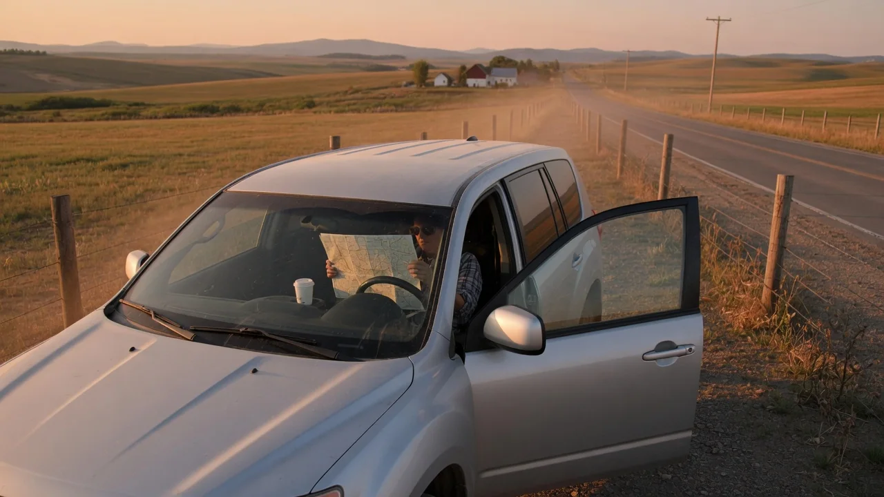
Knowing how to plan stops on a rural road trip matters more than it does on an interstate, because fuel, food, rest areas and cell coverage can all thin out at the same time. A little preparation before departure turns long empty stretches into manageable legs, each with a clear place to refuel, rest and check in with someone.
Distance between towns
The spacing between towns sets the rhythm of the whole trip. On a map, two dots may look close, yet a winding two-lane highway, a mountain pass or a gravel county road can stretch the driving time well beyond what the mileage suggests. Measure each leg in both miles and estimated hours, then compare that against how far your vehicle comfortably travels on a tank or a charge, leaving a generous reserve rather than planning to arrive nearly empty.
Range itself is not a fixed number. A loaded cargo area, a roof box, a trailer, strong headwinds, long climbs and cold weather all cut into the distance a vehicle covers, and the effect differs between gasoline, diesel, hybrid and electric models. Watch the trip computer's average consumption over the first leg and compare it with your usual figure. If the range estimate is dropping faster than the miles are passing, shorten the gap to the next fuel stop accordingly.
Stop options
Not every town on the route offers the same services, so sort possible stops by what they actually provide. A small community may have a single station with limited hours, pumps that only accept cards, or no diesel at all, while electric drivers may find one charger or none. Check opening hours and fuel types before leaving, and note which towns also have a restaurant, restrooms, a tire shop or a repair garage, since those are worth more than a lone pump.
Rest stops deserve the same attention as fuel. Fatigue builds quietly on straight, empty roads, so plan a break roughly every couple of hours even when the tank is still full. Roadside pullouts, town parks, scenic overlooks and diners all work, provided there is room to park safely away from traffic. Stops with a cell signal are especially useful, because they let you send an updated arrival time, refresh weather and road condition reports, and reload maps before the next quiet stretch.
Backup plan
A rural plan needs a second option for every critical stop. Stations close early, run out of fuel or lose power, and roads close for flooding, wildfire, snow or construction with long detours. For each leg, identify an alternate town where you could refuel and decide in advance the point at which you would turn back rather than press on. Topping off whenever the gauge reaches about half is a simple habit that keeps both the primary and alternate stops within reach.
Communications need a backup as well. Download offline maps for the entire region, carry a paper atlas, and share the route and expected check-in times with someone at home so a missed call means something. Some newer phones and vehicles offer satellite messaging or emergency calling, but availability depends on the device, model and subscription, so confirm what yours supports before relying on it. Water, snacks, warm layers, a flashlight and a charged power bank cover an unplanned wait.
Everyday Use and Observations
Once underway, the vehicle and the road give constant feedback worth reading. Note the odometer at each fill-up and compare the miles covered with the fuel added, which shows whether real consumption matches your plan. Watch the temperature gauge on long grades, and glance at the tire pressure display if the vehicle has one, since gravel and heat are hard on tires. Where the dashboard information is located and how detailed it is varies by make, so the owner's manual is the reference.
Pay attention to yourself and your passengers too. Drifting within the lane, missed signs, heavy eyelids or irritability are signals to stop sooner than scheduled, regardless of what the itinerary says. Notice where the phone signal fades and returns, because those points mark the last practical places to make a call or check a forecast. A walk-around at each stop, looking at the tires, lights and the ground beneath the engine for fresh drips, takes a minute and catches problems early.
Limits and Next Steps
No plan removes every uncertainty. Range estimates are predictions based on recent driving, mapping apps may list stations that have closed, and coverage maps rarely match what a phone receives in a canyon or behind a ridge. Treat each figure as a guide and keep margins wide. If a warning light appears far from help, the manual explains whether it is safe to continue; any stored fault code is a clue for a technician to interpret, not proof that a specific part has failed.
Before departure, have the vehicle checked if service is due, and confirm the spare tire, jack and any tire repair kit are present and usable, since equipment differs widely between vehicles and some carry no spare at all. Verify roadside assistance coverage and how it handles remote locations. Then write out the legs, primary stops, alternates and check-in times, and review them once more against current road and weather reports on the morning you leave. Adjust the schedule freely as conditions change.